
GRI Blog
Submerged Aquatic Vegetation Survey in Southwest Louisiana
August 31, 2021 - Adam Skarke
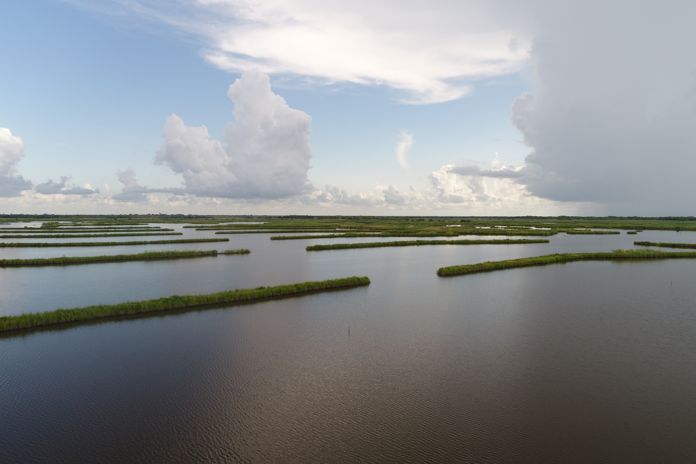
The work conducted by the GRI UAS team specifically focused on assessing how effective marsh terraces are at promoting SAV growth. The team collected UAS images of the water surface in locations with constructed marsh terraces as well as nearby reference sites without terraces, to determine if there was a measurable difference in the abundance of SAV between the terraced and unterraced sites. Additionally, researchers also conducted manual raking surveys of SAV presence at these sites to ground truth UAS observations and evaluate the effectiveness of UAS collected imagery for surveying SAV in wetland environments.
Water Quality Observations for Enhanced Understanding and Sustainable Management of Oyster Reefs in Mississippi Sound
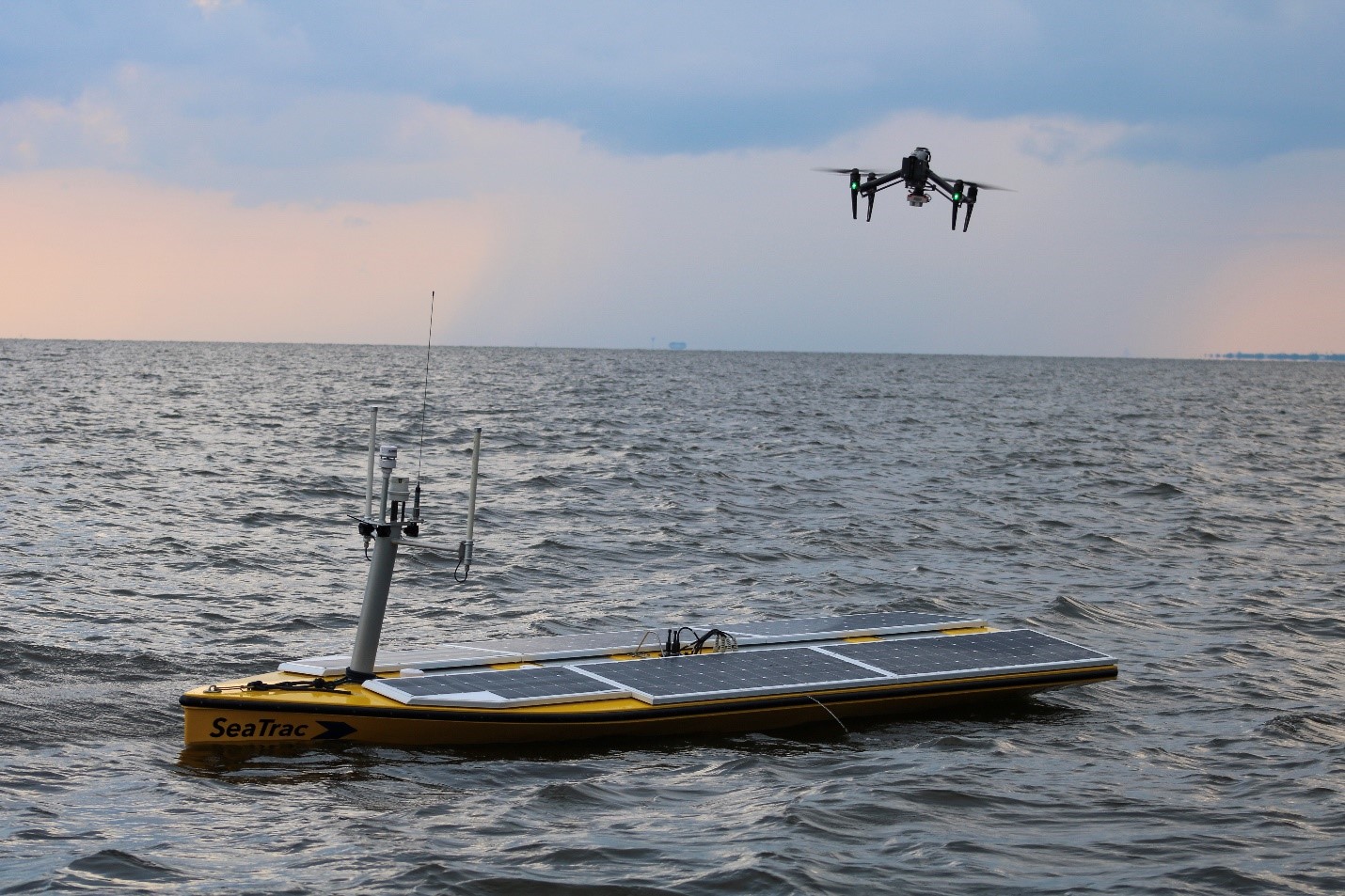
The autonomous surface vessel and the multi-rotor unmanned aerial system
Water quality sampling, Autonomous Surface Vessel (ASV) surveys and Unmanned Aerial Systems (UAS) imaging was conducted from July 26 to 30, 2021 in the western Mississippi Sound proximal to oyster reefs. These data will not only inform the state of the water quality in the region, but also will provide input data for the calibration and validation of UAS and satellite algorithms. The water sampling included collection of water samples and profiles of in situ parameters (temperature, salinity, dissolved oxygen, pH-oxygen reduction potential, photosynthetically available radiation), and remote sensing reflectance measurements. The water samples were collected from 41 locations for suspended particulate matter (SPM), chlorophyll a, cyanobacteria-specific pigment phycocyanin (PC), colored dissolved organic matter (CDOM), absorption, algal toxins, coastal acidification, nutrients, microscopic, bacterial counts, and toxic metal analyses.
Multispectral imagery data were collected with a multi-rotor UAS with 8 cm resolution from a height of 122 m during water sample collection, and remote sensing algorithms will be calibrated and validated by developing quantitative relationships between water quality data and UAS imagery. The algorithms developed will be applied to this multispectral imagery, the imagery collected during the water sampling trips, and a timeseries of satellite data to obtain synoptic information on harmful algal blooms, SPM, CDOM, and other water quality indicators. Based on the in situ, ASV surveys, UAS-derived, and satellite-derived water quality data, the potential impacts of water quality on the oyster population will be determined in the western Mississippi Sound.