LiDAR Data Collection over KLMS Louisville Winston County Airport
May 28, 2021
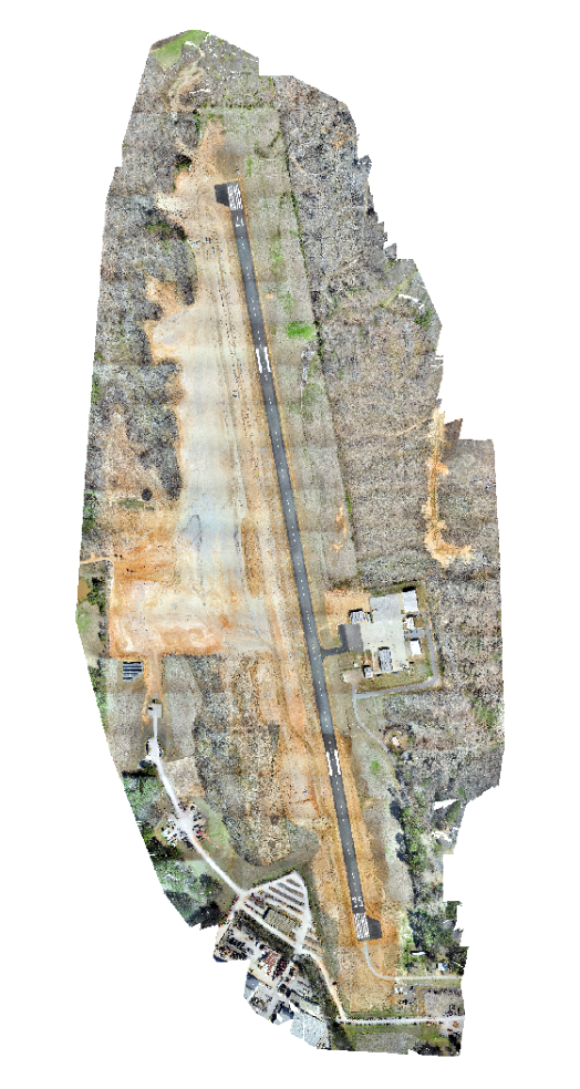
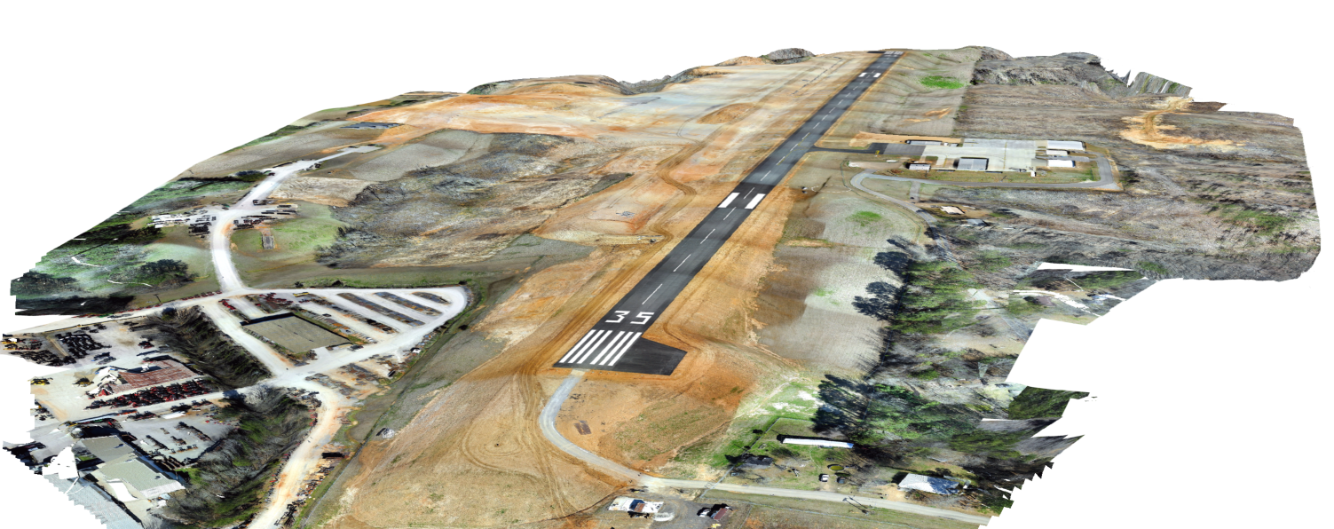
The GRI UAS team recently had the opportunity to work with a local Civil Engineering firm to help assess the status of one of their projects. Clearwater Consultants were in the process of expanding the runway at the Louisville Winston County Airport and needed a topographic survey completed. Clearwater reached out to the GRI to look at the feasibility of collecting LiDAR over their project area of roughly 200 acres. At the point the team flew the site, the construction crews had already moved a large volume of dirt and extended the runway. They mainly wanted the survey to ensure the different grades and slopes matched the plans drawn prior to starting the construction.
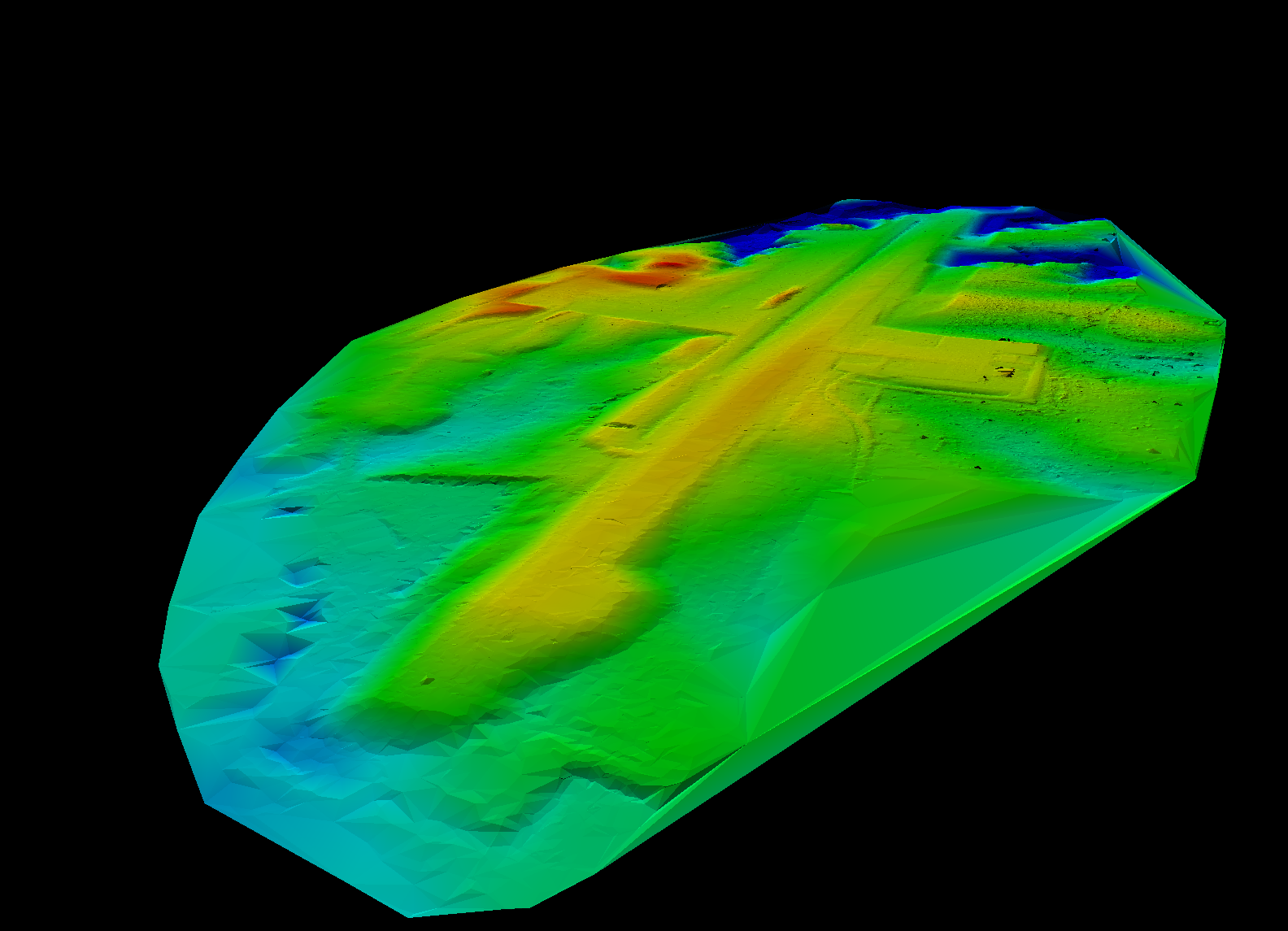
Traditionally a topographic survey would be completed by a person walking the area and collecting GPS points on a 50 to a 100 foot grid. Those points, containing XYZ coordinates, could then be imported into some modelling software to create a Triangular Irregular Network (TIN) surface to make a model of the jobsite. As one could image walking 200 acres in varying terrain and with some thick vegetation can be fairly time consuming and taxing.
However, utilizing the GeoCue TrueView 410 on a DJI Matrice 600 UAV allowed the for all 200 acres to be mapped in less than 5 hours. Also, instead of collecting a single point every 50 to 100 feet, the team was able to achieve roughly 10 points per square foot. This greater point density allows the project managers to have a far more accurate representation of the terrain and all its varying features.