The GEO Project
Our mission is to enhance geospatial capacity in coastal and tribal communities
through targeted education, outreach, and research initiatives. By equipping
these communities with essential geospatial tools and knowledge, we empower
them to make informed decisions for sustainable coastal and tribal land
management and resilience.
Who We Are
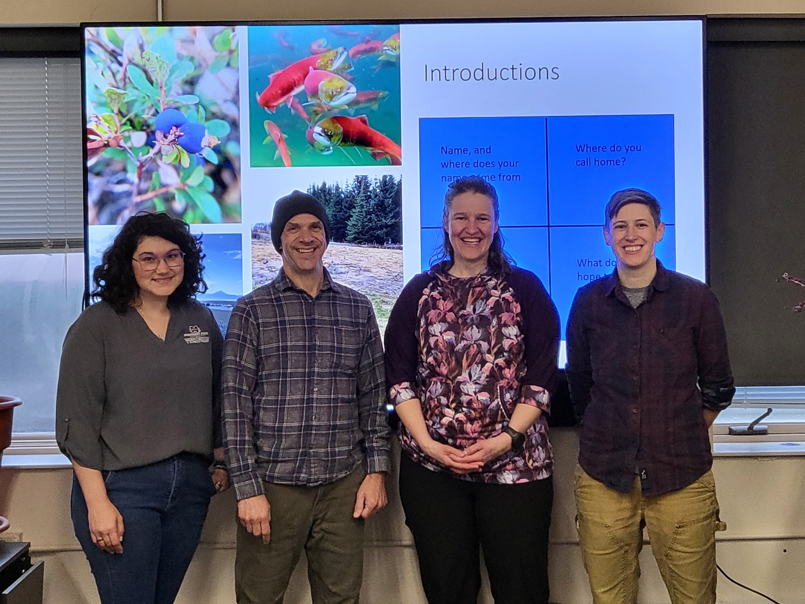
The GEO Project, funded by NOAA's National Ocean Service's Office for Coastal Management, is a collaborative effort of Mississippi State University's Extension Service, Geosystems Research Institute (GRI), and the Northern Gulf Institute (NGI). Our team of faculty, researchers, and geospatial specialists work to build GIS capacity in coastal and tribal communities to help mitigate coastal risks associated with natural disasters and other hazards.What We Do
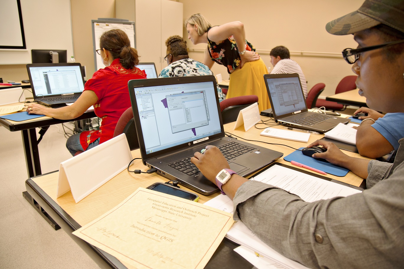
Outreach
We support coastal and tribal communities in the use and application of geospatial technologies.
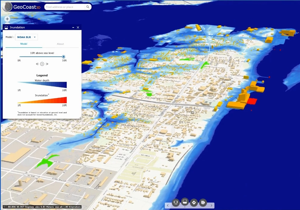
Research
We develop research based geospatial tools and applications to address issues facing coastal regions.
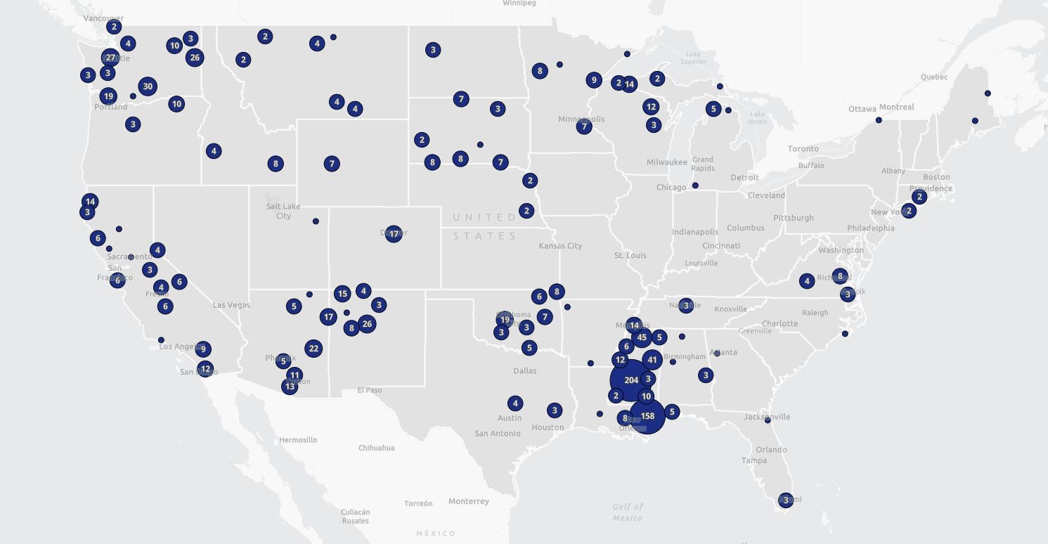
Our Impact
Since its launch in 2006, the GEO Project has made a significant impact on building geospatial capacity across the U.S., particularly in the Gulf Coast region. As one of the largest GIS education and outreach initiatives, it has trained over 6,500 participants from more than 250 agencies.
550+
Trainings

6,500+
Participants