UAS Flight Services
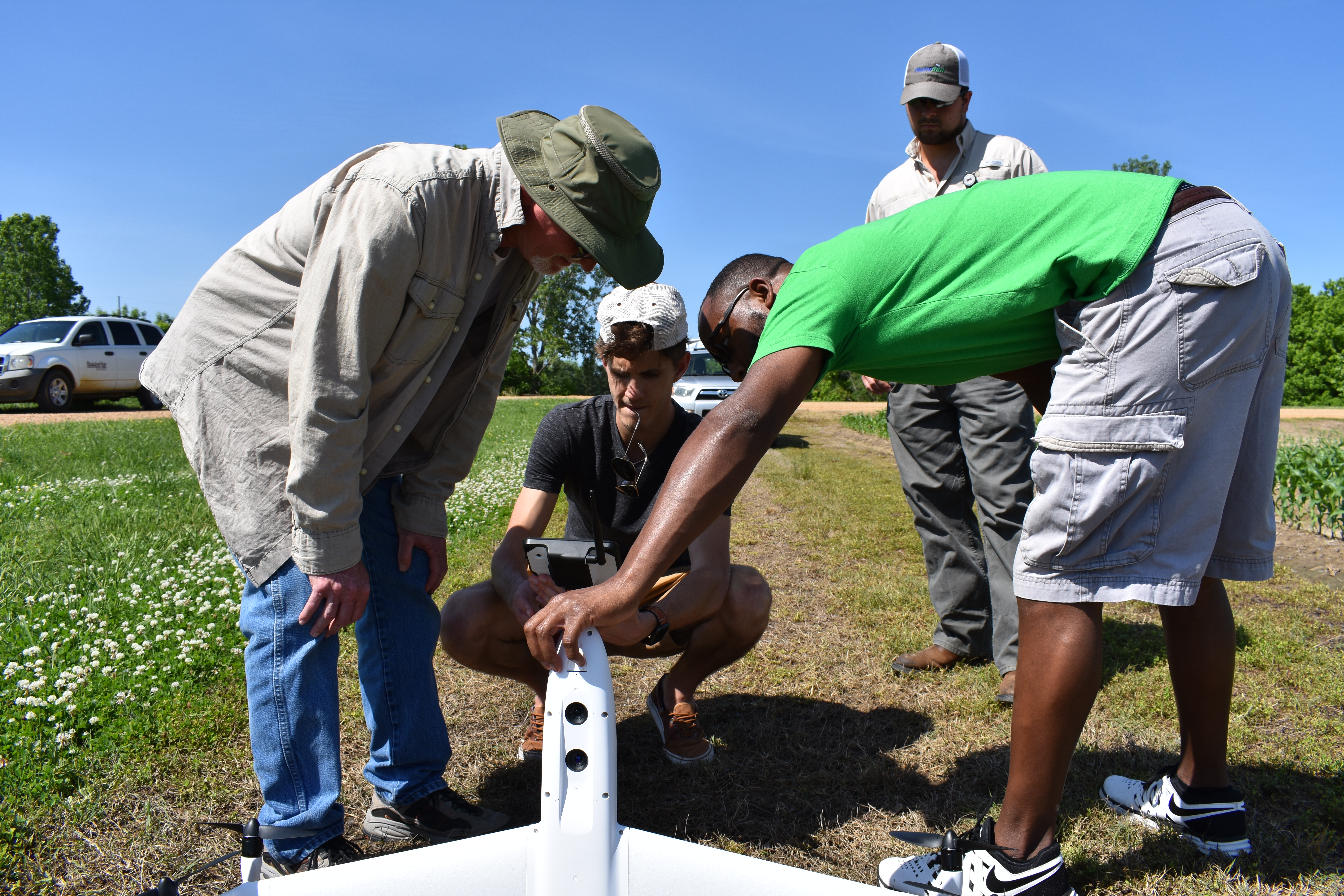
The Geosystems Research Institute offers a variety of UAV services to assist
departments and organizations with their UAS data collection and analysis
needs. Our UAV team has experience creating high-resolution orthomosaics and
various detailed LiDAR deliverables such as Digital Elevation Models and Canopy
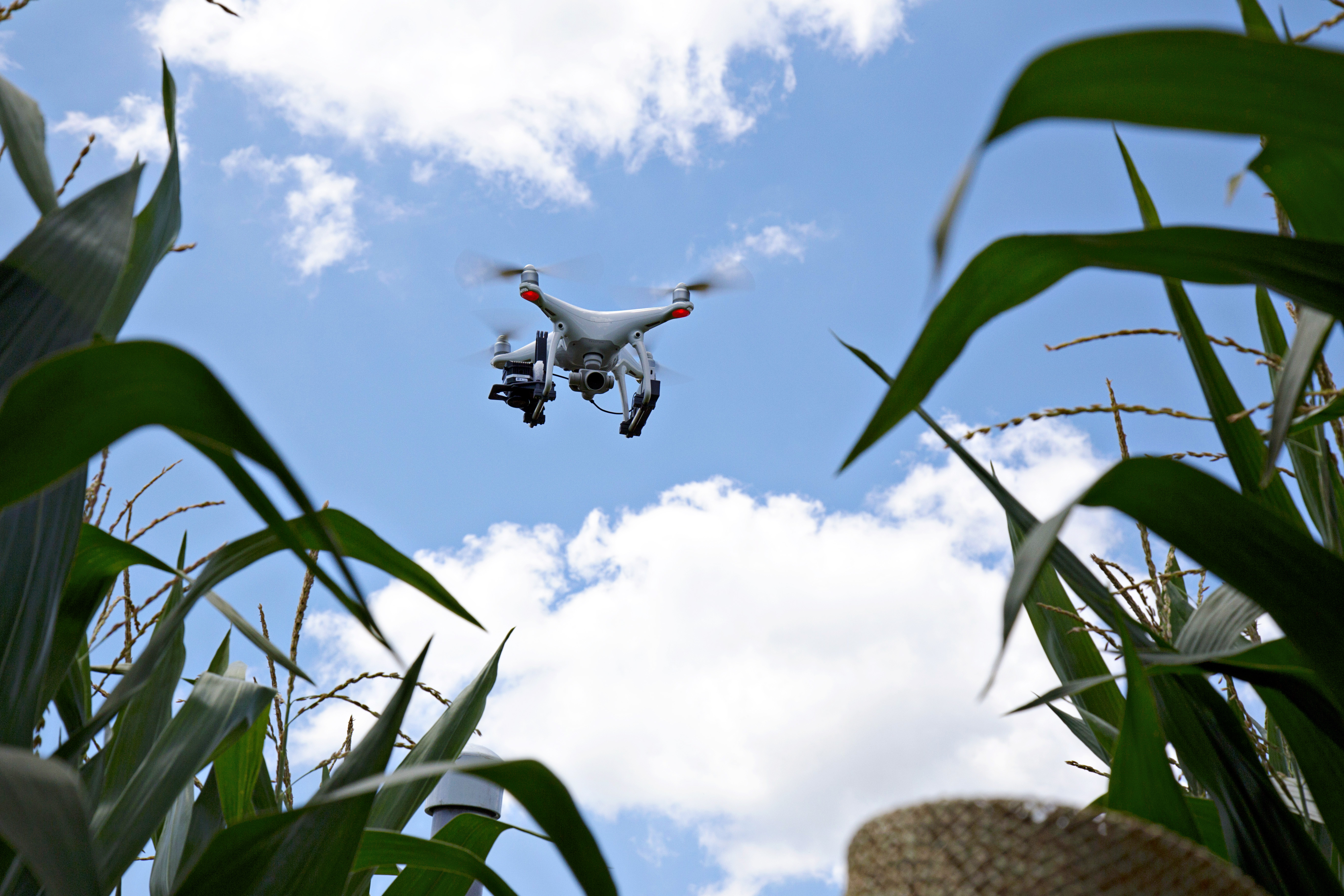
Height Models. In addition, we have a variety of sensors including RGB,
5-Band Multispectral, Hyperspectral, and two LiDARs capable of extremely dense
point clouds.