
GRI UAV Services: Advanced Aerial Solutions for Research and Application
Expertise in High-Resolution Mapping and Modeling
Our team has extensive experience in producing high-resolution orthomosaics and advanced LiDAR deliverables, including Digital Elevation Models (DEMs) and Canopy Height Models (CHMs). These products are essential tools for understanding landscapes, managing resources, and supporting research initiatives.Advanced Sensor Technology and UAV Platforms
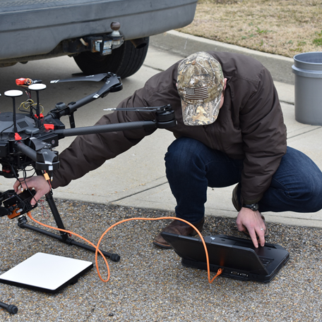
Our UAV services are powered by a robust lineup of sensors and platforms designed to meet a wide range of project requirements: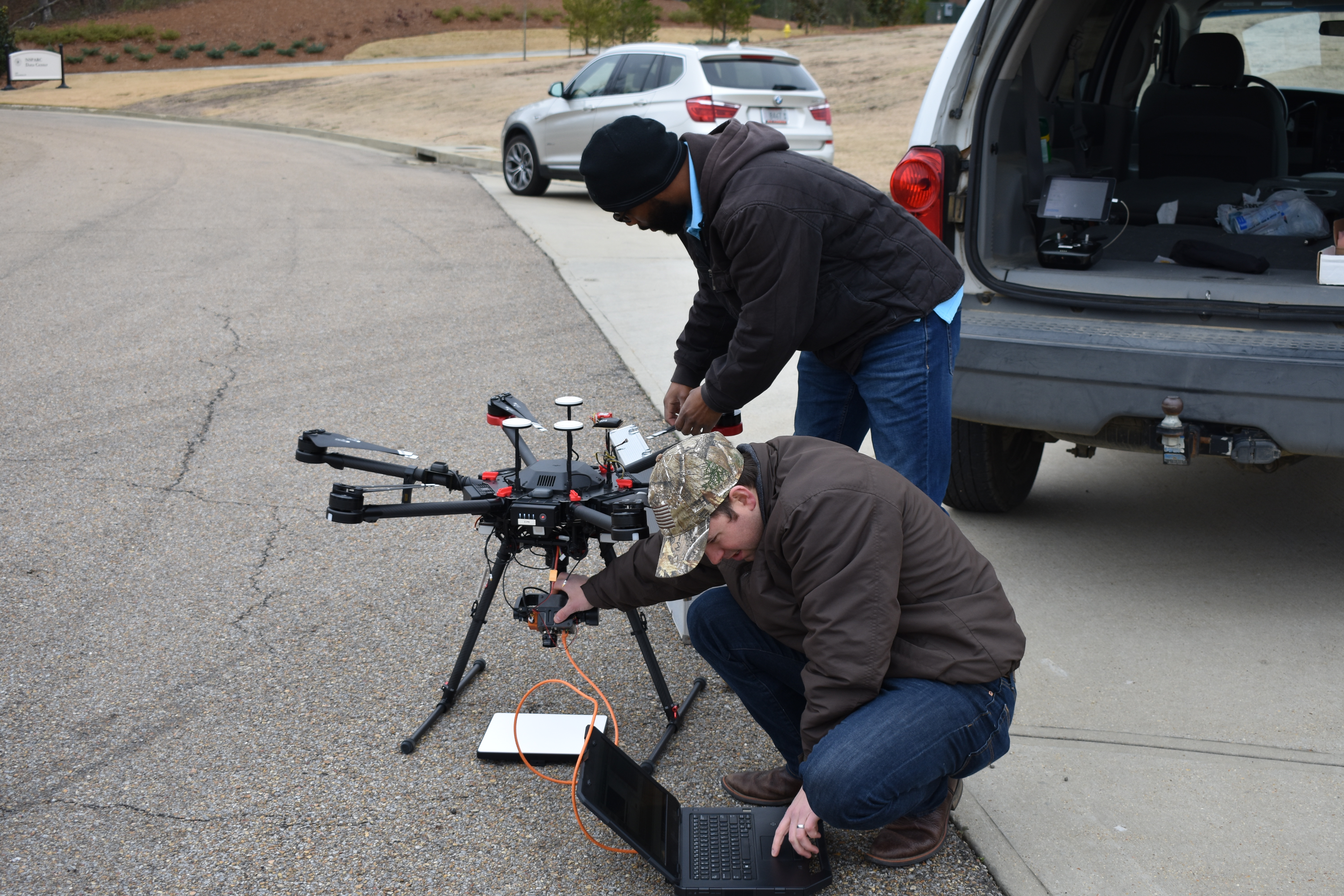
Sensor Capabilities Include:
- RGB and 5-band multispectral sensors for detailed imagery and vegetation analysis
- Hyperspectral sensors for fine-scale species differentiation and environmental monitoring
- High-resolution LiDAR systems that generate exceptionally dense, multi-return point clouds
- Bathymetric sensors for mapping water depths in challenging environments
Sensor Highlights:
- MicaSense RedEdge P / Dual Kit – Ideal for crop health and precision agriculture with 2–8 cm resolution
- MicaSense Altum – Combines multispectral and thermal imaging for advanced analytics
- Headwall Nano-Hyperspec – Radiometric sensor capturing 270 spectral bands for high-detail spectral analysis
- SPH Engineering Bathy Kit – Enables UAV-based bathymetry in turbid waters
- Geocue TrueView LiDAR (410, 515) – Delivers highly accurate topographic and canopy profiles
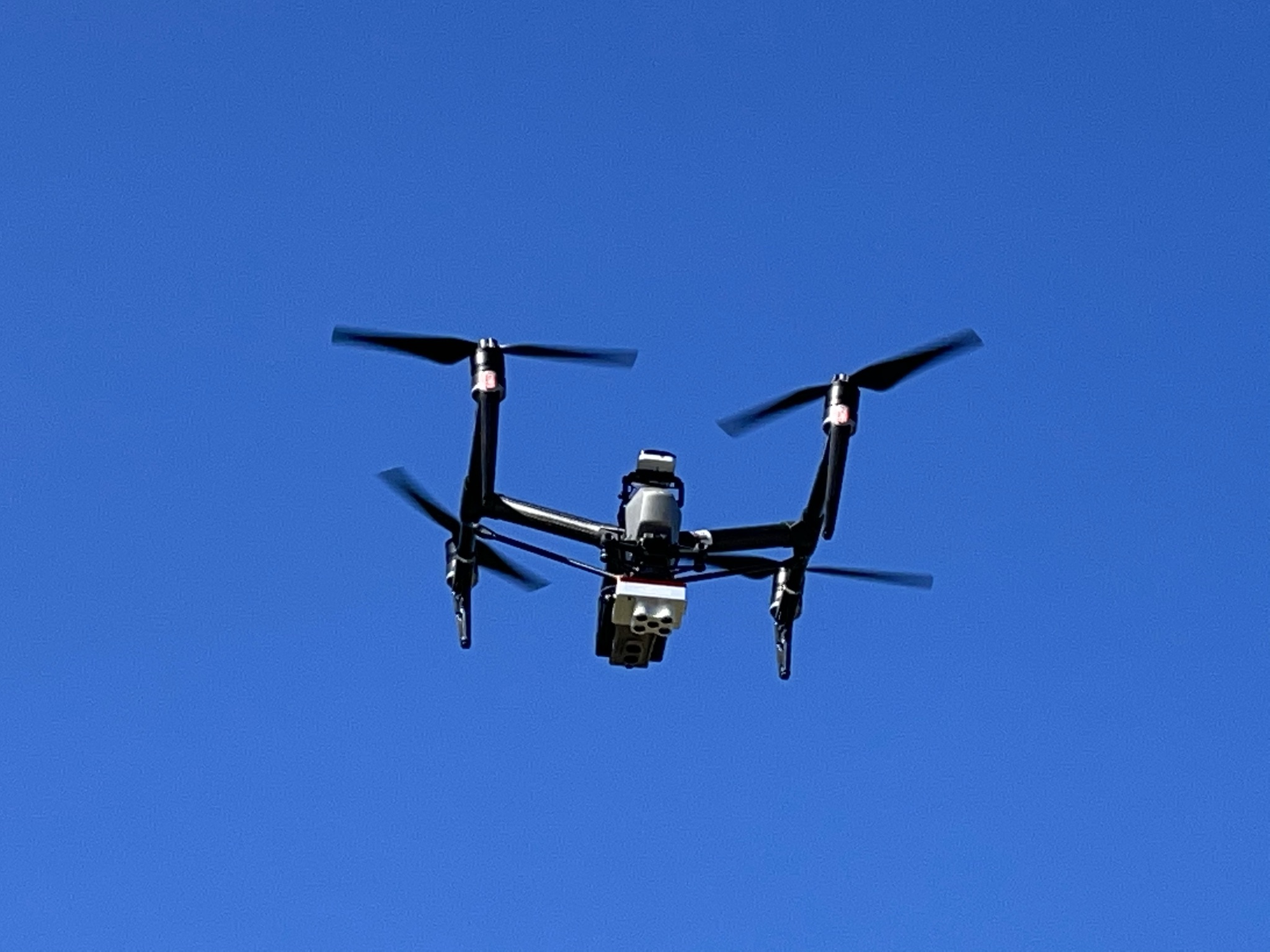
UAS Platforms:
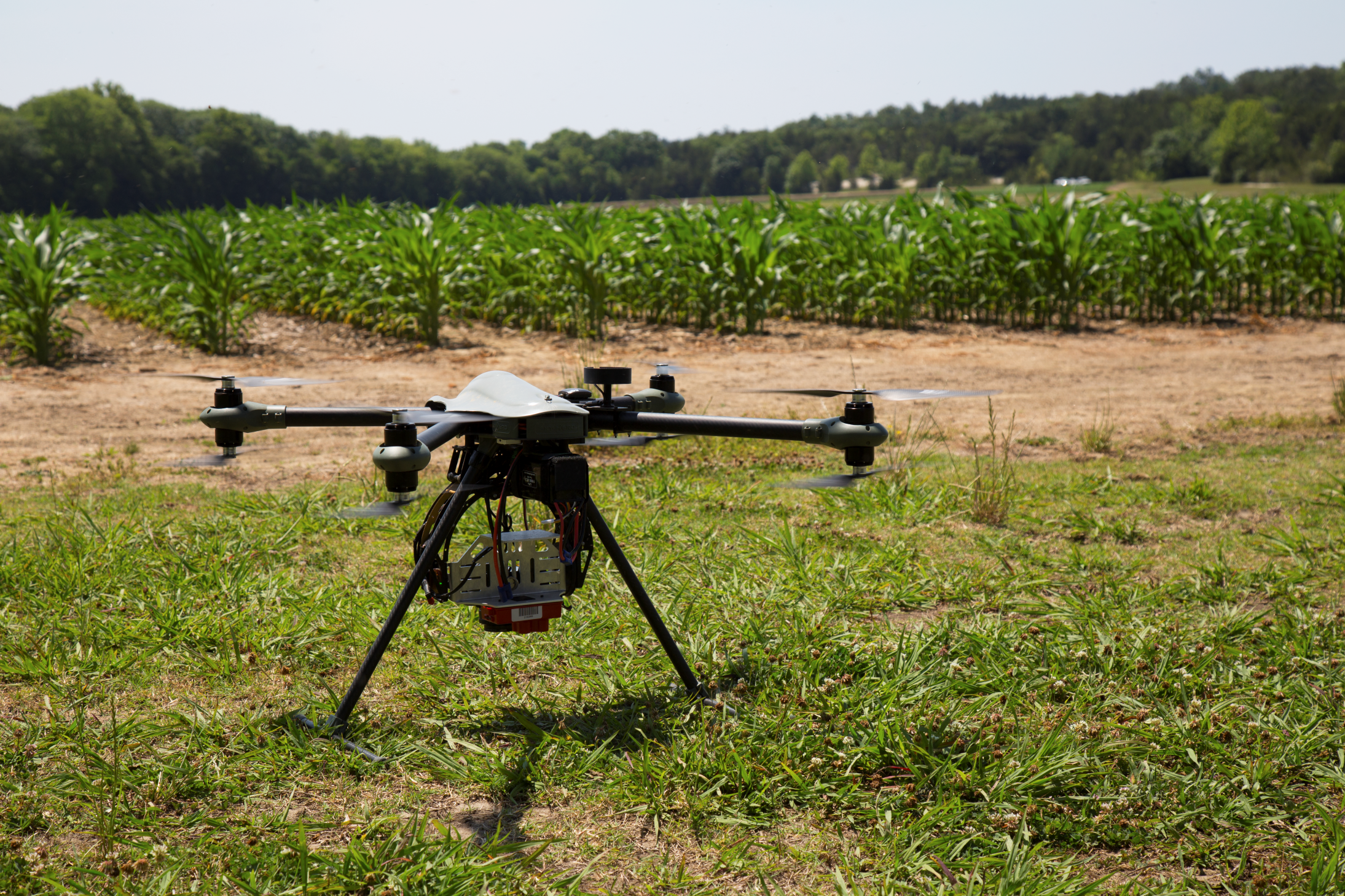
- WISPR Ranger Pro 1100 – MSU alumni-designed quadcopter with up to 30-minute flight time and up to 3.2 kg payload capacity
- Skyfish M4 – Equipped with a 61 MP RGB camera and MicaSense RedEdge P for high-quality true color and multispectral imaging
- Inspired Flight IF800 Tomcat – Medium-lift UAS with flexible sensor mounting and competitive flight time
- Wingtra One Gen II – Fixed-wing VTOL UAS ideally suited for large area mapping
Broad Application Areas
Our UAV capabilities support a wide array of applications across research, resource management, and environmental monitoring:- Environmental Monitoring – Including wetland restoration and agricultural assessments
- Topographic Mapping – For floodplain analysis, forest structure, and land classification
- Water Resource Management – UAV-based bathymetric surveys of rivers, lakes, and reservoirs
- Research Collaboration – Supporting academic projects, agency-led initiatives, and government-funded studies
Your Partner in Precision Aerial Data
GRI is a trusted resource for organizations seeking innovative, accurate, and efficient aerial data solutions. Whether you’re managing natural resources, conducting scientific research, or analyzing complex landscapes, our UAV team is equipped to deliver the high-quality data and support you need.For more information contact Daniel McCraine at cdm366@msstate.edu.