
GRI Employee Spotlight
Claire Babineaux
Title:
GIS Coordinator
Time at GRI:
Since January 2020 (6 years)
Hometown:
Scott, Louisiana
Q: What is your academic background?
I hold a B.S. in Geology from UL Lafayette (2010), an M.S. in Geosciences from
Mississippi State University (2012), and a Ph.D. in Earth and Atmospheric
Sciences (2018), where I focused on environmental and coastal geology.
My graduate work centered on beach nourishment, specifically looking at the
feasibility and environmental impacts of using recycled glass cullet in coastal
environments. That work really shaped how I think about applied science and
problem-solving in coastal environments.
Q: What are your research interests?
My research interests focus on coastal resilience and using GIS as a tool to
better understand and communicate change in coastal systems. I’m especially
interested in workflows that help bridge the gap between science and
applications –things like shoreline change analysis, site suitability, and
decision-support tools that communities can actually use.
Q: Who inspired you to pursue the career you have today?
Six years ago, I wouldn’t have expected to be doing the work I’m doing now.
I’ve always loved science and originally thought I’d end up as a TV
meteorologist but ended up staying grounded in geology. Over time, I realized
that teaching and applied science were always at the core of what I wanted to
do.
A big turning point for me was working with John Cartwright. He challenged me
to learn GIS from the ground up, pushed me to apply it in real projects, and
recognized early on how much I enjoy teaching—and still pushes me to grow into
the work.
That combination of support and challenge is what shaped the path I’m on now.
Q: What has been your favorite project while working at GRI?
It’s really hard to pick just one, but the shoreline change work, the Foley
Resilient Housing project, and the trainings we did with the Bureau of Indian
Affairs all stand out. Those projects sit right at the intersection of coastal
science, GIS, and real-world application—where the work doesn’t just stay on a
map, it actually helps people make decisions in their communities.
Whether it’s a project I’m working on or a workshop I’m teaching, I enjoy
helping people get to a point where they can understand it and actually use it
on their own.
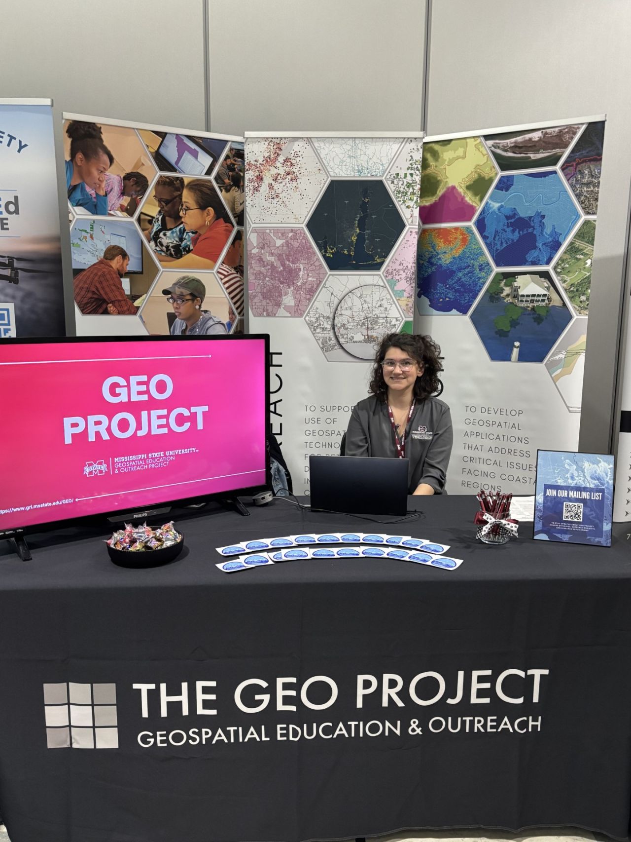
Q: What is the coolest thing you are working on right now?
Right now, I’m working on updating and refining our workshop curriculum, which
has been a worthwhile process. I’m also excited about building tutorials that
connect GIS workflows directly to coastal applications. That intersection of
science, application, and education is where I think this work has the most
impact.
At the end of the day, if someone can take what we build and actually use it to
make a better decision, that’s the win.
WORKING AT GRI MEANS WEARING A LOT OF DIFFERENT HATS. IT’S A MIX OF PROJECT WORK, TEACHING, AND FIGURING THINGS OUT ALONG THE WAY. NO TWO DAYS REALLY LOOK THE SAME, WHICH I LIKE.
Q: What is something most people don’t know about you?
Since learning GIS, I have started using it outside of work to catalog my rock,
fossil, and sand collections, and have even turned geologic maps into
cross-stitch patterns!
Q: What kinds of hobbies and interests do you have outside of work?
When I’m not at GRI, I’m usually either at Scotty’s or at home recharging. I
tend to keep things pretty low-key—good homecooked food, a little quiet, and
slowing things down whenever I can—but I also enjoy traveling and going to
museums when I get the chance.