GRI Blog
Deer Island
June 27, 2016
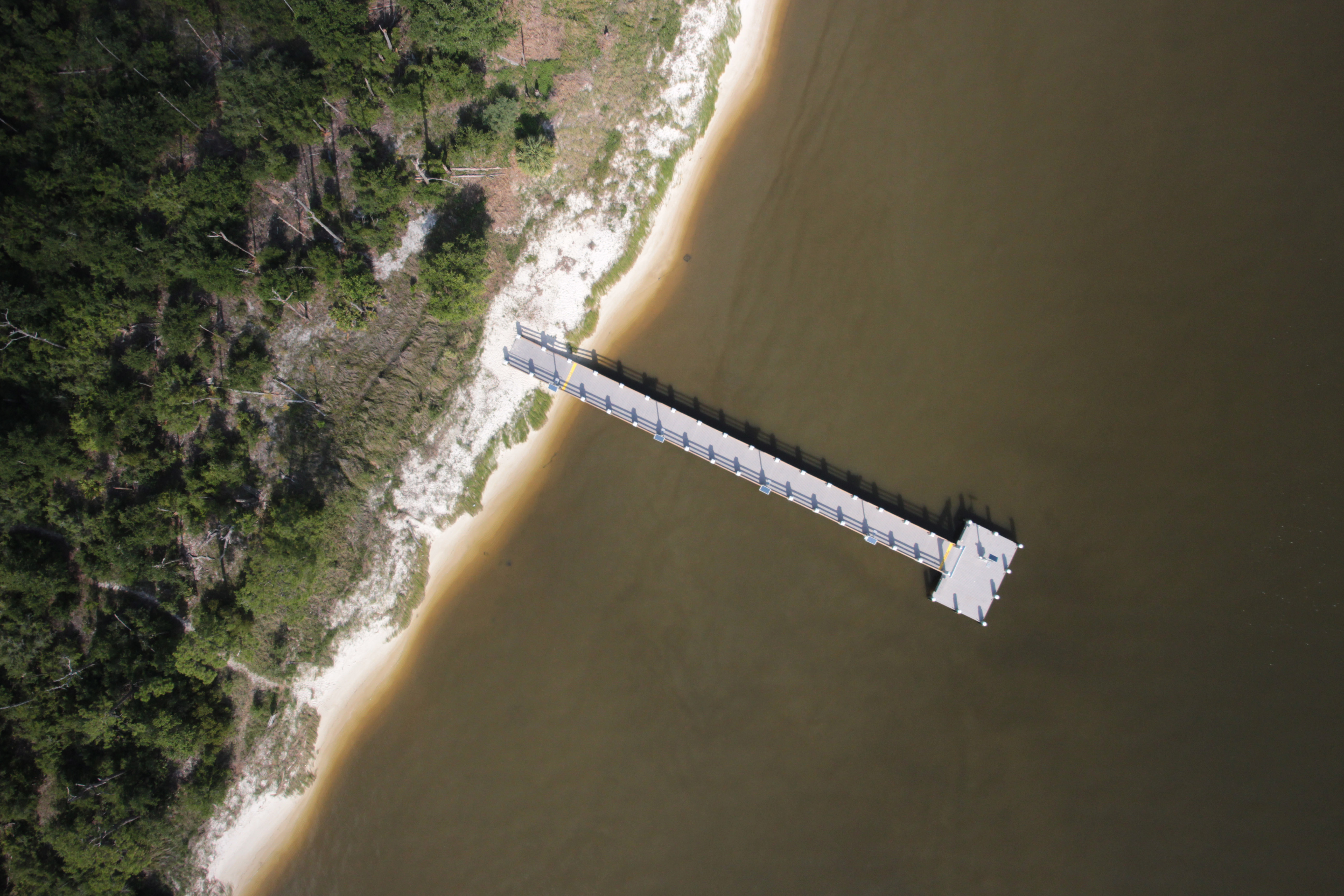
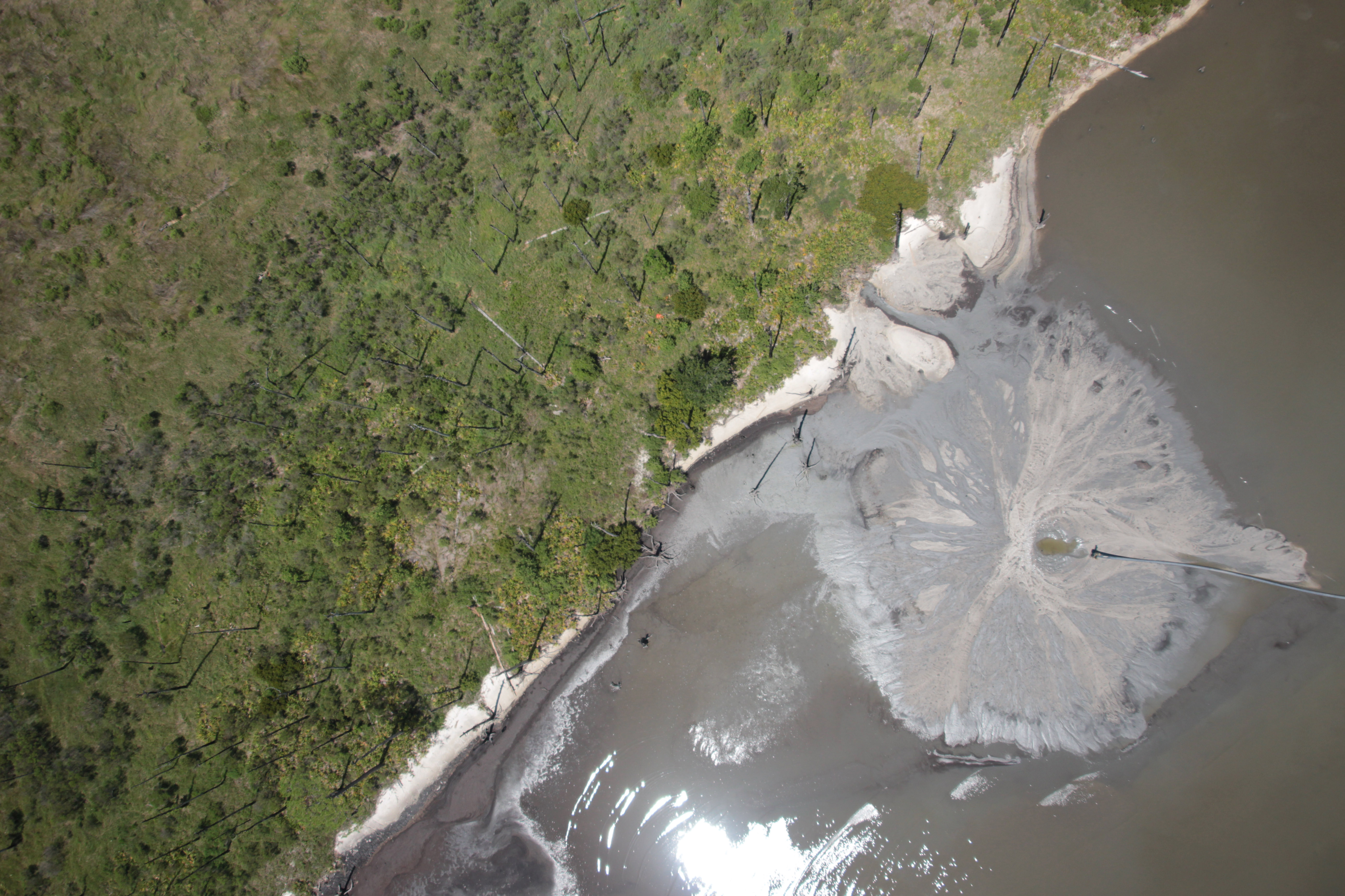
In the spring and early summer of 2016, the Mississippi State University Geosystems Research Institute exploited an array of UASs to image Deer Island, just off the Mississippi Gulf Coast. The principal objectives were for habitat analysis and to monitor the island's morphological dynamics.We collected a series of overlapping RGB, CIR, and 5-band multispectral images to create high resolution visible maps, high resolution vegetation maps, and 3D point clouds. We also collected several flyover video of the island to provide context for the mapping, as well as to promote the island.
The UAVs we used included an Altavian F6500, an Altavian F7200, and a DJI Phantom 4. The cameras we used on the Altavian UAVs were a Canon EOS Rebel SL1 (one unmodified and another modified to allow us to sense in the NIR band) and a Micasense RedEdge.
The project was funded by and was in collaboration with the Mississippi Secretary of State's Office and the Mississippi Department of Marine Resources.